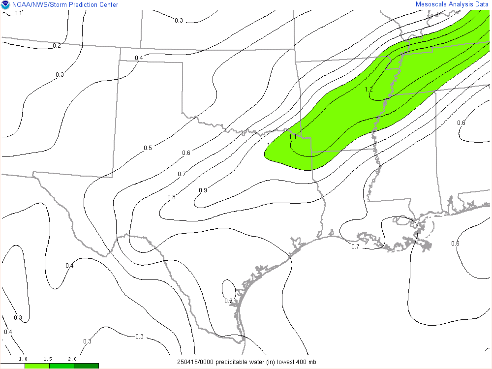
Precipitable Water
There are many ways to measure moisture in the atmosphere including relative humidity and dew point. Another way you may not have heard about is called precipitable water and meteorologists use this value quite a bit when making forecasts. Precipitable water indicates the amount of moisture in the atmosphere above a fixed location. It isn’t used to predict how much rain will fall, but rather how much moisture is in the air. The precipitable water (PW) number works like this: higher values indicate greater availability of moisture IF precipitation develops. High PW values don’t indicate rain will develop, but rather how much moisture the atmosphere has available.
A general rule for understanding PW values is as follows: 0.50” or less means low moisture content above a certain location. Moderate moisture content would be 1.00-2.00”. Anything over 2.00” values indicates high moisture content. If a PW value is over 2.00”, it is likely that should rain develop, it would be on the heavy side and could create flooding concerns. Looking at the PW values can help meteorologists with forecasts in a variety of ways.
Flooding is the obvious implication over a certain area when PW values are high. If a meteorologist notices higher than normal PW values (relative to climatological normals) then flooding has a higher probability of happening when rain develops. High PW amounts in the atmosphere also can lead to numerous lightning strikes given other unstable parameters. More moisture in the atmosphere can help reduce wind gusts over a certain area as well because high wind gusts need a dry layer in the atmosphere to help them develop. Hail chances are also reduced in high PW environments since air parcels can’t travel as high up within a cloud due to the heavy moisture content. (Courtesy of WHTM / ABC27)


